3D ROAD ACCIDENTS RECONSTRUCTIONS
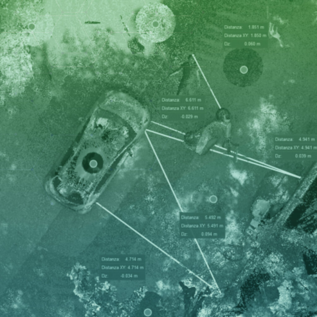
Professional equipment by Leica Geosystems to document every detail of a crash scene quickly and safely.
During years of collaboration Leica Geosystems has proven itself as a reliable technological partner bringing to the table advanced and certified solutions not only in the Police Force sector, but also construction, transport, energy, mining and agriculture.
SPECIALIZED TOOLS AND SOFTWARE FOR THE 3D SURVEY OF ROAD ACCIDENTS.
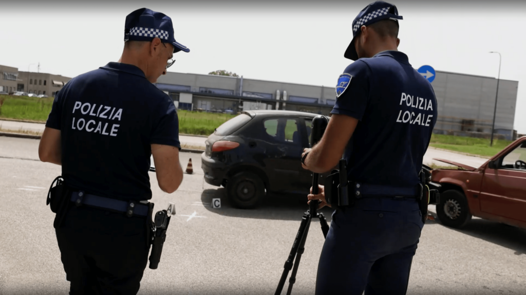
LaserScanner Leica BLK360
BLK360 is the new device by Leica able to capture reality 360° around itself generating a mesurable 3D cloud.
Works without stickers in every atmospheric condition, even total dark and without GPS.
DIGITAL TWIN OF THE ROAD ACCIDENT
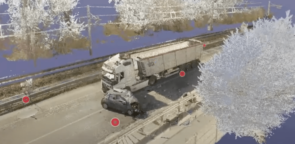
Leica BLK360 makes an exact reusable and remeasurable copy of the road accident scene
Each measurement can be carried out at a later time by staff within the Command and possibly by experts or PMs by sending the survey file with a file reader.
The Leica Geosystems laser scanner captures 680,000 points per second, a 360 degree scan at maximum detail with HDR images lasts only 1 minute and 40 seconds.
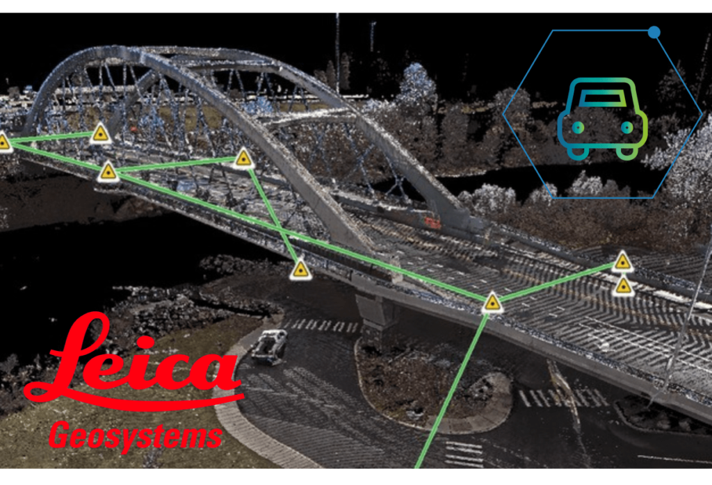
The scan has a detection range of 45 meters and by automatically concatenating multiple scans the instrument can capture entire stretches of road, tunnels and buildings.
From the 3D scan it is possible to easily obtain a 2D scale plan.
From the 3D point cloud the system is able to generate an "air to ground" view, making the use of drones unnecessary.
SAFE AND CERTIFIED
Leica BLK360 is the only instrument in the category currently certified.
BLK360 is the only 3D detection tool on the market that reproduces reliable and precise scans.
BLK360 is the tool that engineers and architects also rely on.
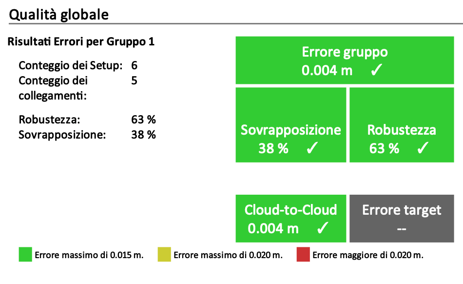
A technical report is attached to each scan which certifies the validity of the scan also indicating the specific error rate.
MODULAR SOLUTIONS FOR
ROAD ACCIDENT MANAGEMENT
Verbatel designs, develops and integrates solutions for the detection of road accidents in order to guarantee the Commands total coverage in the management of the accident phenomenon.
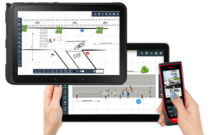
In addition to the Laserscanner solution illustrated previously, Verbatel developed Rilev@ in 2018, an application that digitizes the sketch of the accident and is currently used with satisfaction by more than 300 Police Headquarters
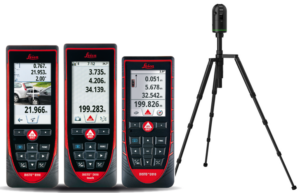
Rilev@ is integrated with Leica Geosystems Laser Distance Meters which replace the classic measuring wheel ensuring greater precision and identification of points even in bright light.
TECHNOLOGICAL INTEGRATIONS
COMPLETE DIGITALIZATION OF PAPERWORK
All of our modules enable police personnel to digitally sign all type of documents.

NATIONAL IDs AND PAYMENT SYSTEMS
Our solutions can be integrated with digital IDs and payment systems.

RADIO
Verbatel has integrated in INTR@PM the main technological partners in the field of professional communications.

LICENSE PLATE SCANNERS AND PORTALS
Territory oversight system integrated with alarm systems.


